May 28, 2021 - Day Nine, Flight One
Bonneville Salt Flats, Golden Spike National Historic Park
|
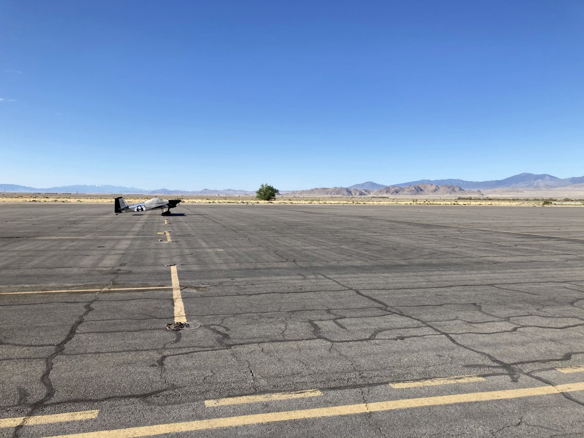
| When I returned to the airport in the morning, my plane was all by its lonesome on the big ramp. |
| |
 |
|
|
Taking off at Wendover Airport.
|
| |
 |
|
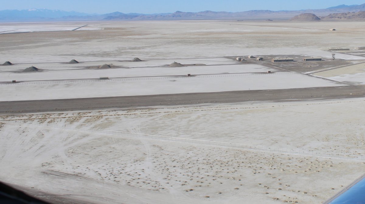
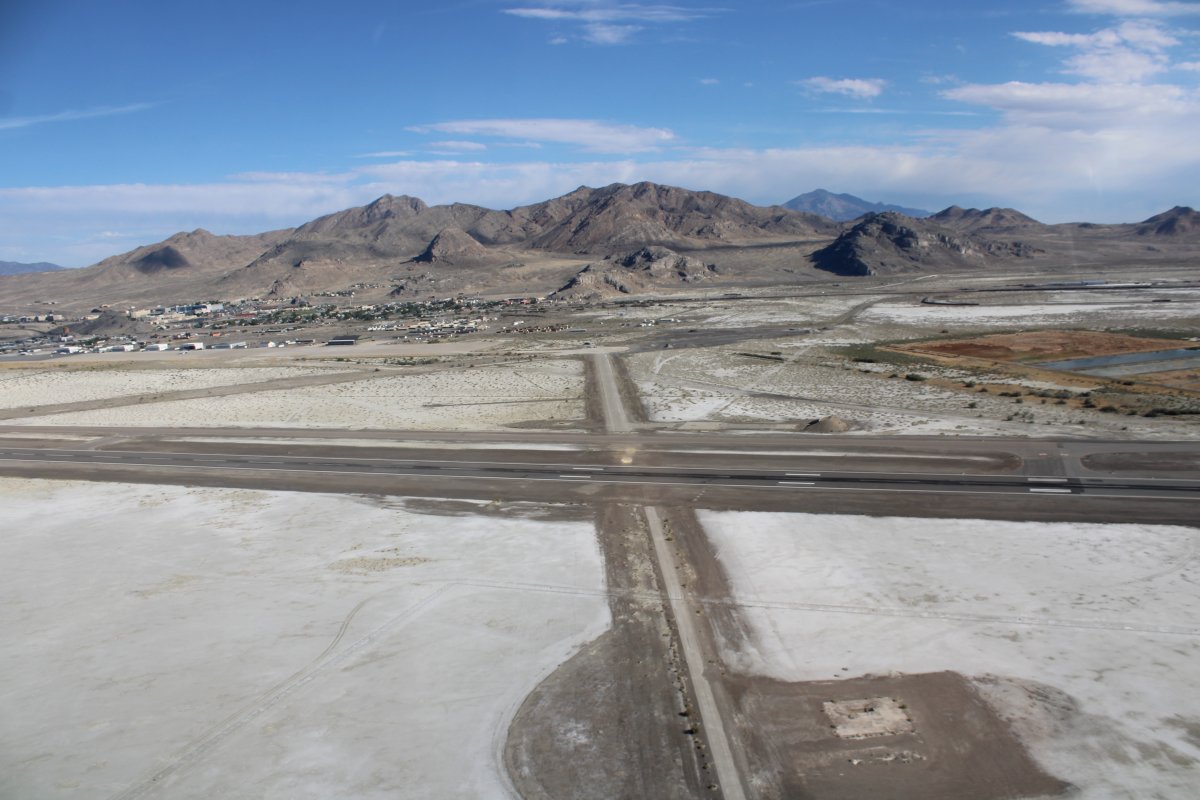
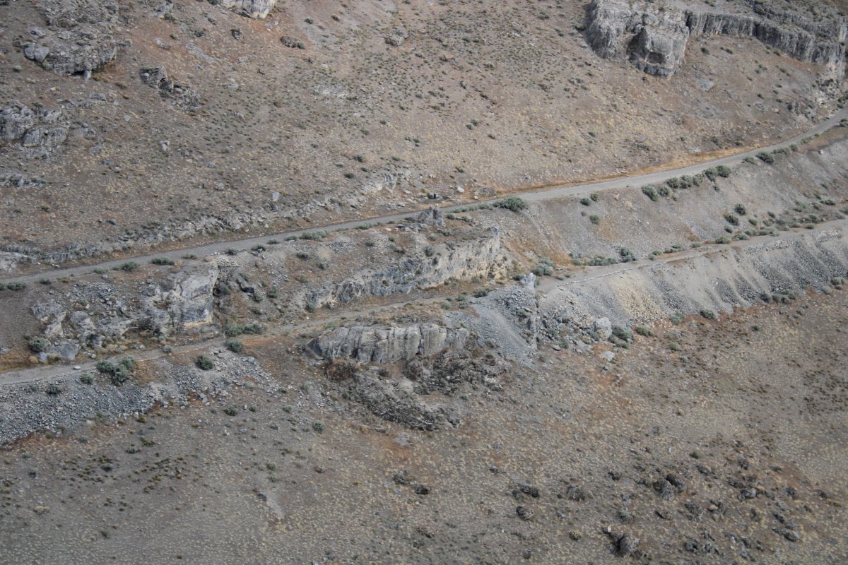
| Looking at the south part of the base, where the munition bunkers were. They also configured the atomic bomb in this area. |
| |
 |
|
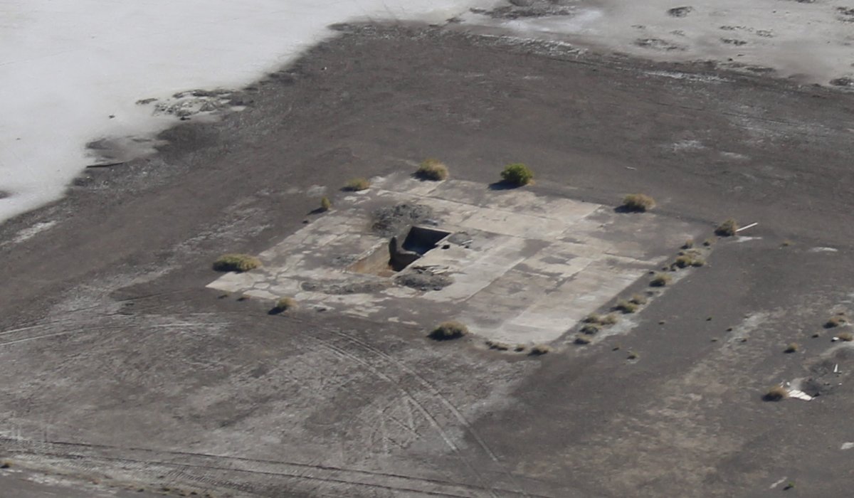
| Looking down at one of the Atomic Bomb loading pits. The Fatman atomic bomb was too big for a bomb trailer so they would lower the bomb into this pit, push the B-29 over the pit, then a hydraulic lift would insert the bomb into the B-29's bomb bay. For a good YouTube video on all this, check the following Link. |
| |
 |
|
| |
| |
 |
|
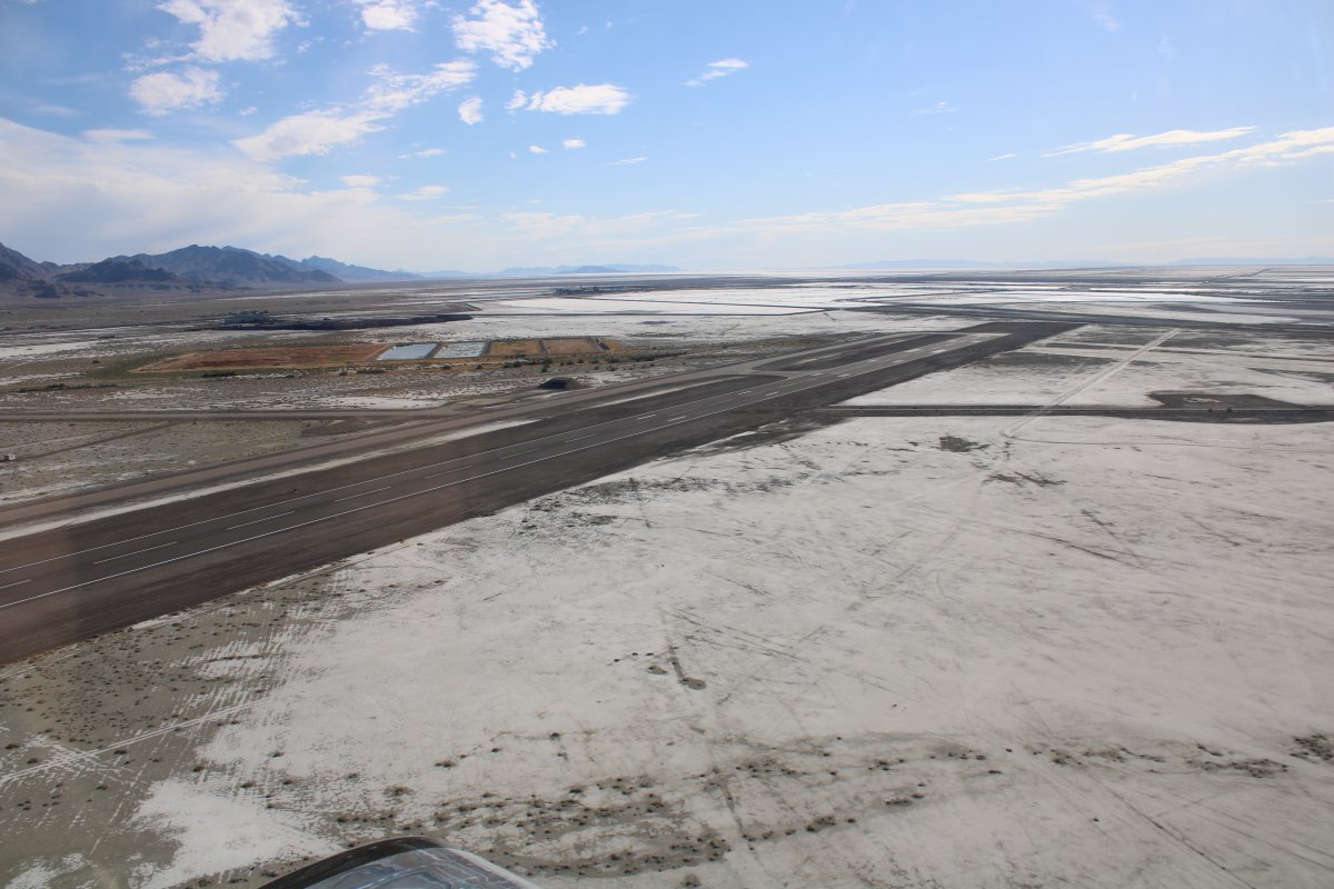
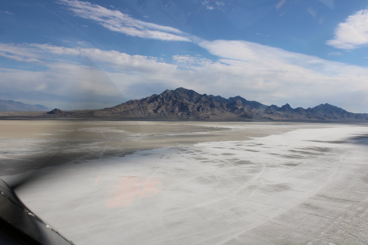
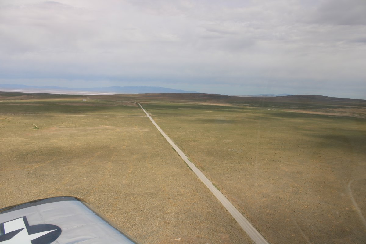
| I headed northeast towards the Bonneville Salt Flats. |
| |
 |
|
| Looking down to the cul-de-sac where I had been in the car last night. |
| |
 |
|
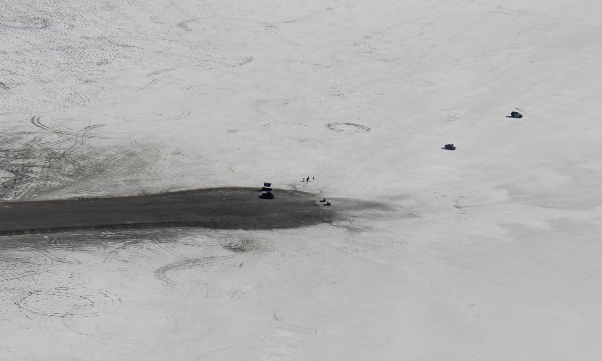
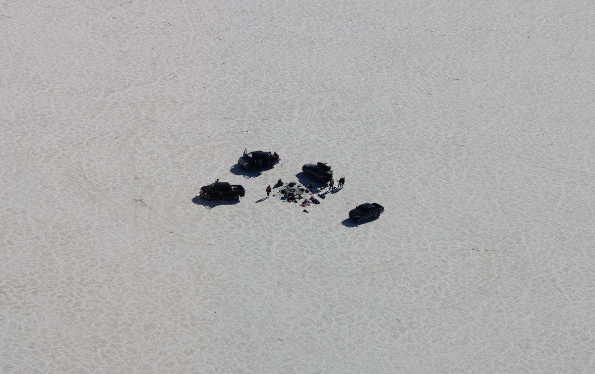
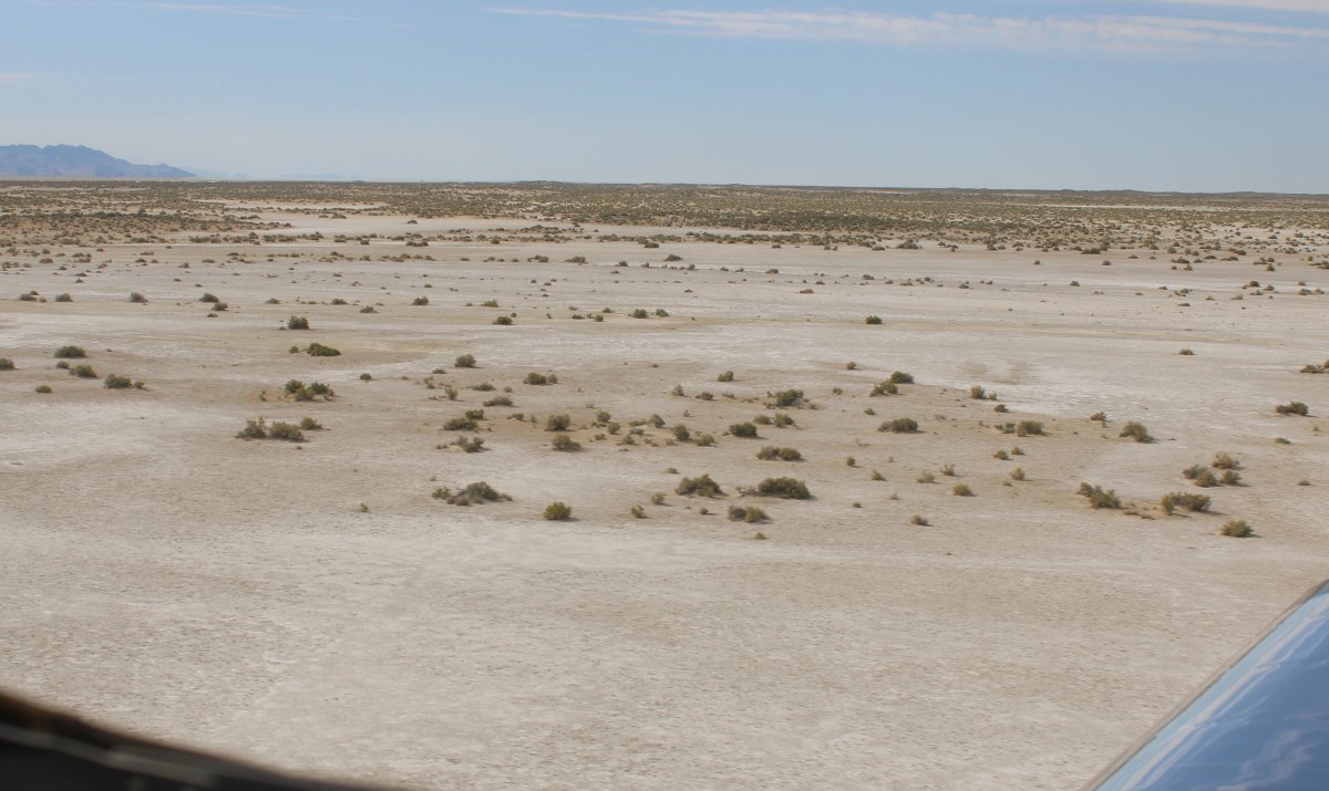
| A group camping or something out on the flats. |
| |
 |
|
|
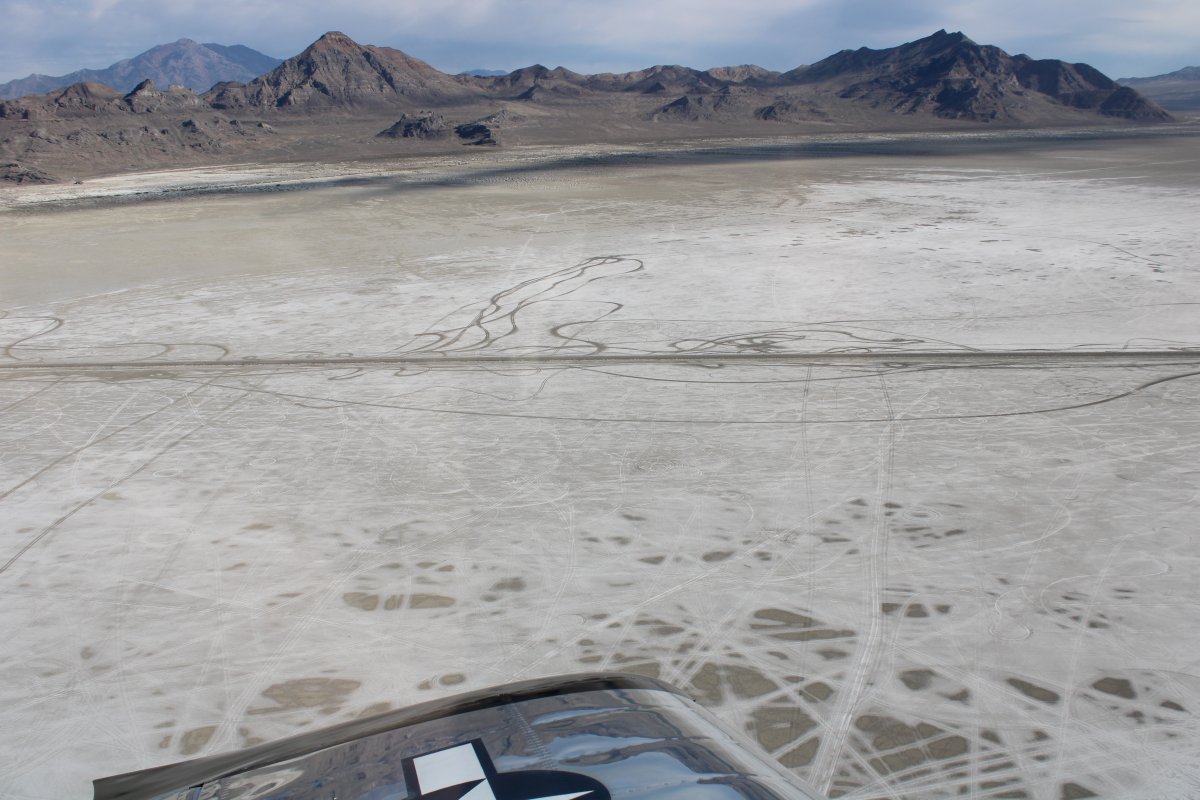
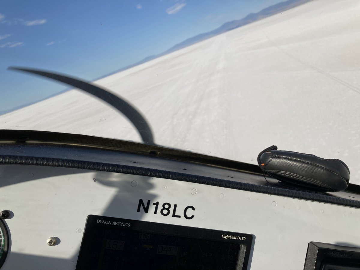
So, of course, I had to see how fast the RV would go on the Bonneville Salt Flats. I had them to myself. Here I am rolling in hot.
|
| |
 |
|
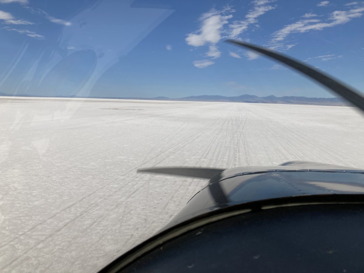
| I was at full throttle, 10 feet off the salt. The early morning air was cool and smooth so it was like driving down the highway. |
| |
 |
|
|
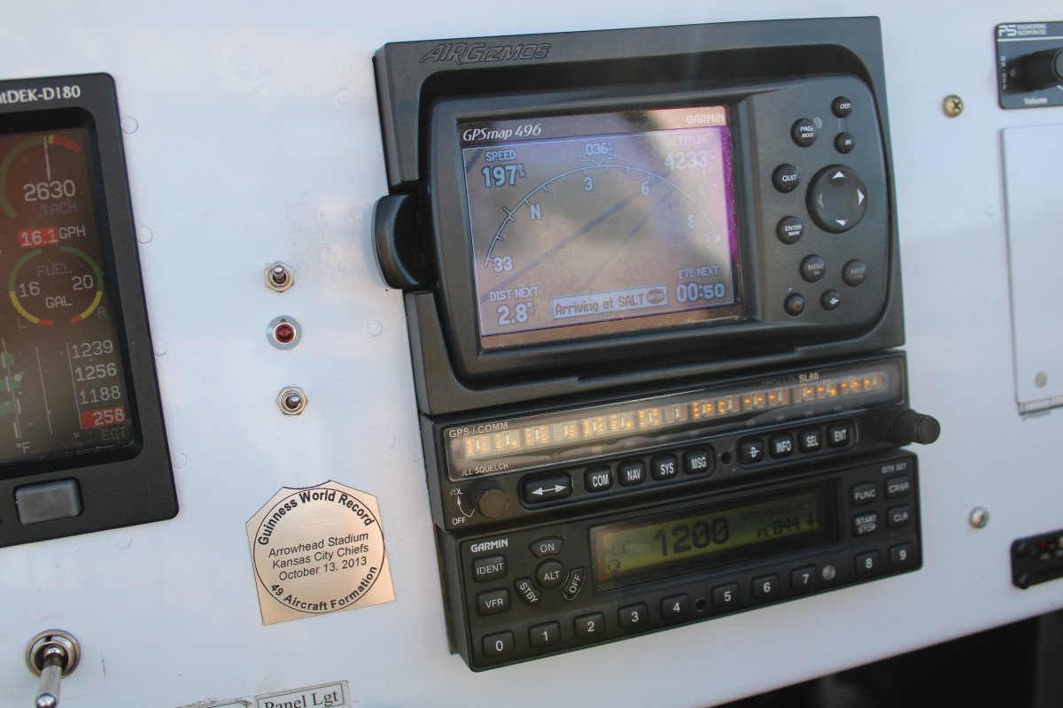
I got up to 197 mph (slight wind assist). Too bad, I wanted to break 200! (Pay no attention to that low EGT reading on cylinder #4 - I just need a new sensor)
|
| |
 |
|
| Pulling up after the speed run. |
| |
 |
|
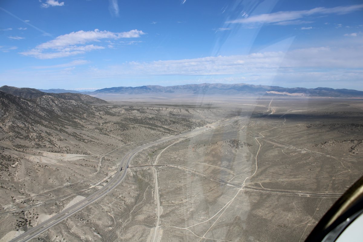
| Heading west-northwest now. My next stop was at the Golden Spike National Historic Park, but I was going around the west side of the big Restricted Area that was between me and the spot where the first transcontinental railroad across the United States was completed. |
| |
 |
|
| Crossing a range just north of Wendover. |
| |
 |
|
| |
| |
 |
|
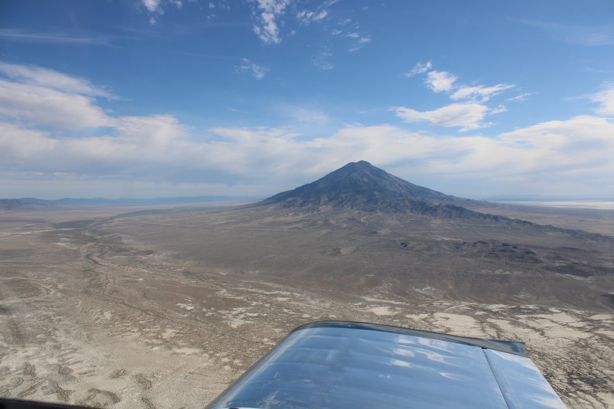
| Looking north at Pilot Peak, elevation 10,716 feet. |
| |
 |
|
|
Following Interstate 80 west through a pass in the range.
|
| |
 |
|
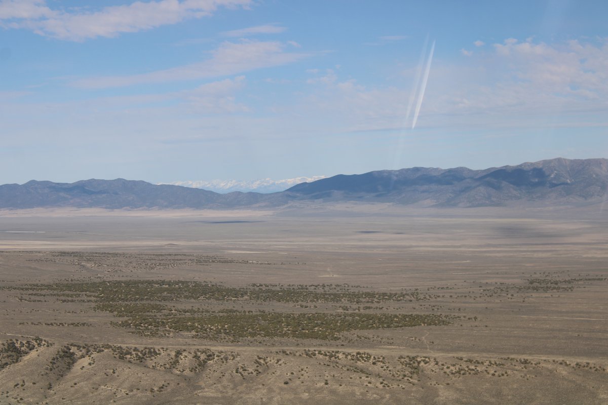
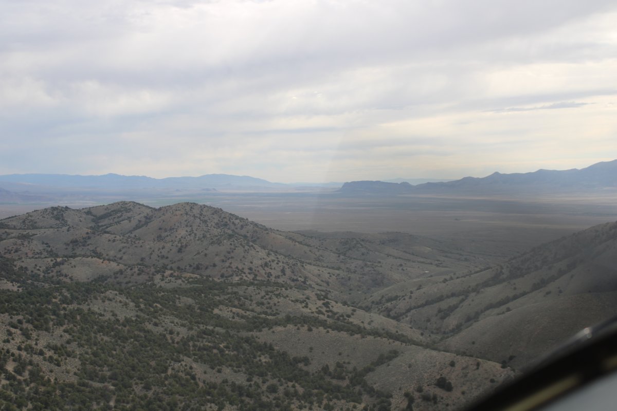
| Entering a big valley with the snow-covered East Humboldt Range visible in the far distance. |
| |
 |
|
|
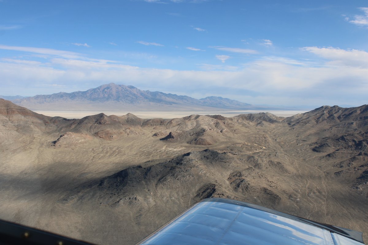
Now heading north on the west side of a restricted area.
|
| |
 |
|
| I flew along an abandoned rail track and wondered if this could have been the original transnational railway? Probably not, why would it run north-south? |
| |
 |
|
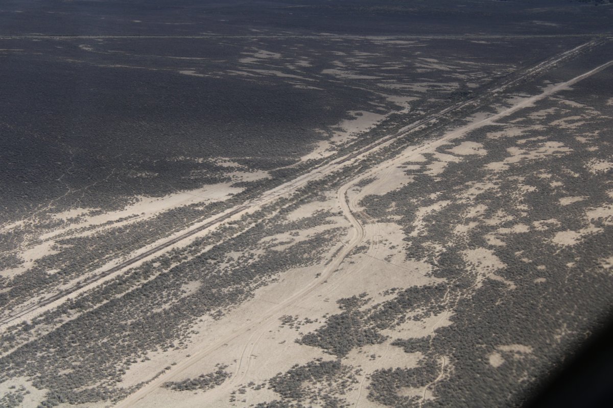
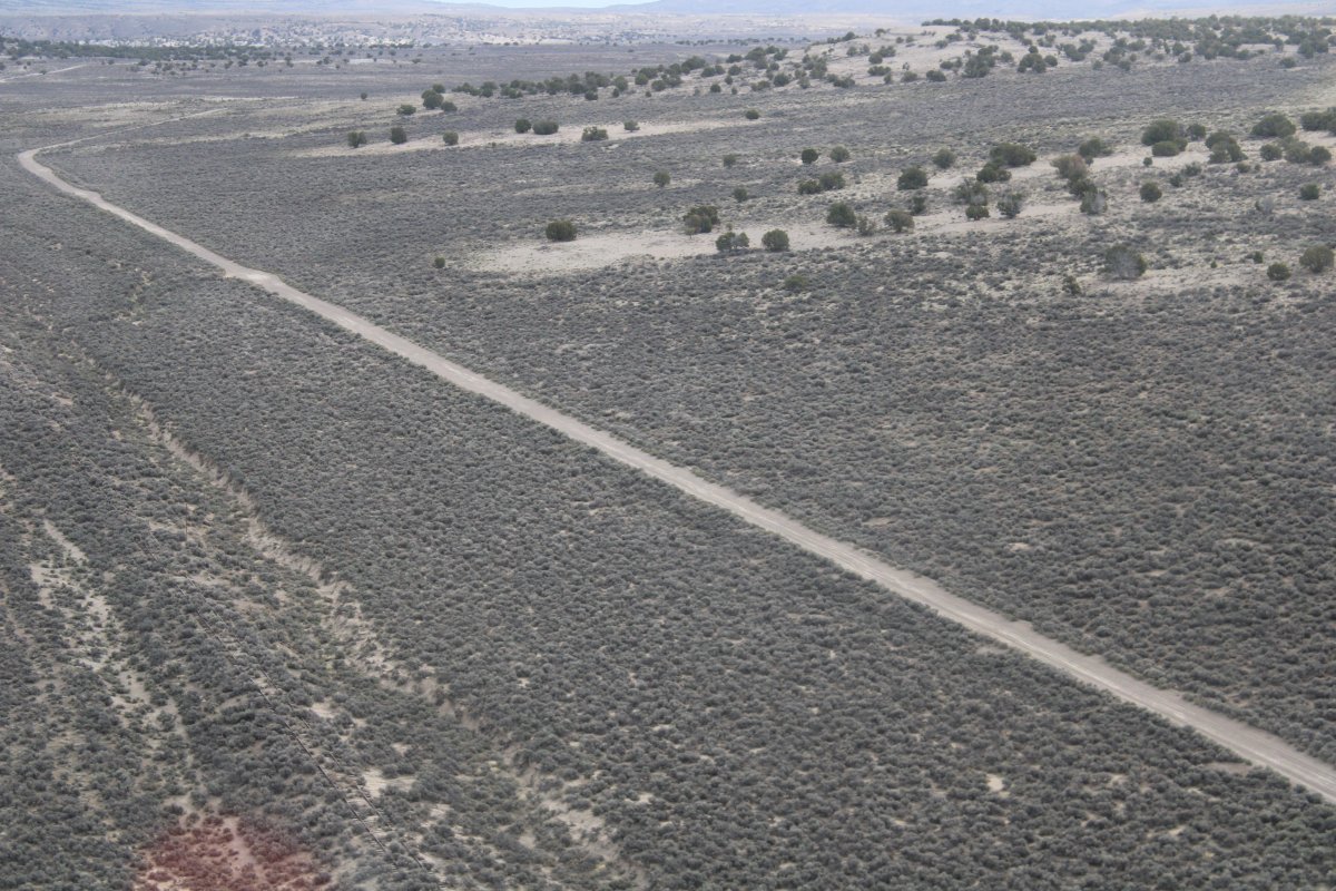
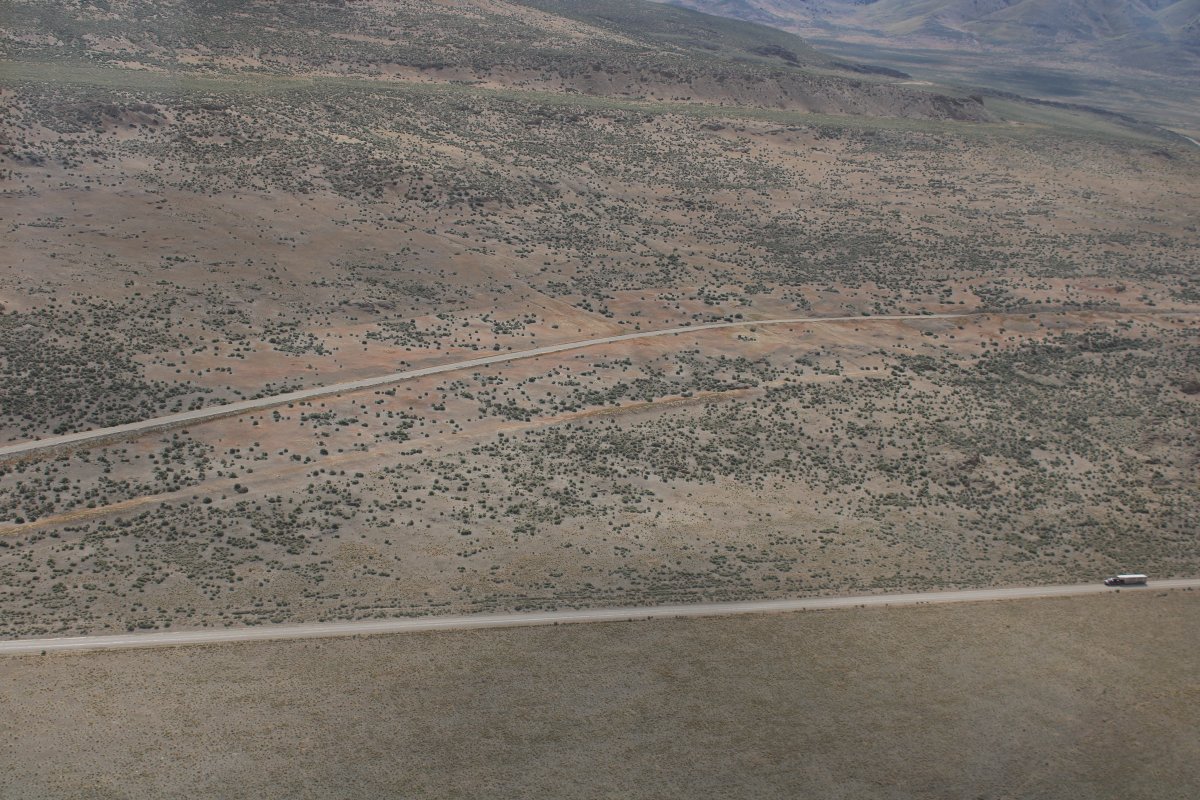
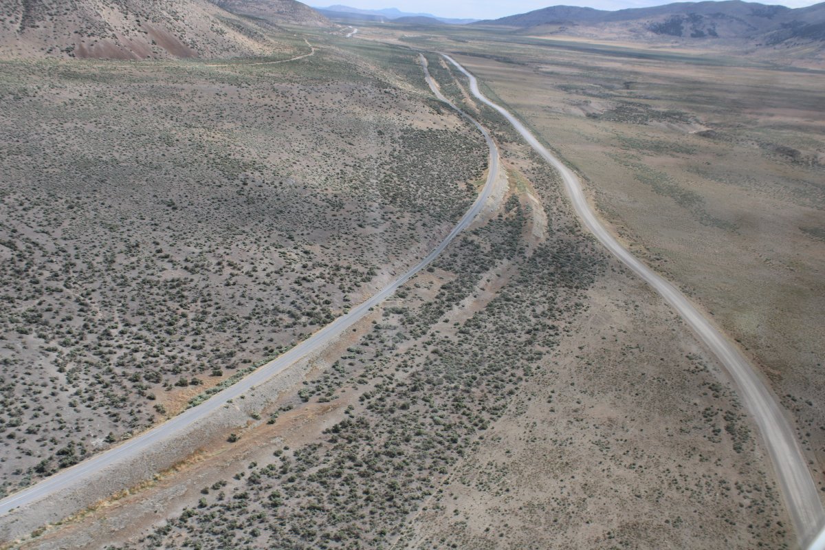
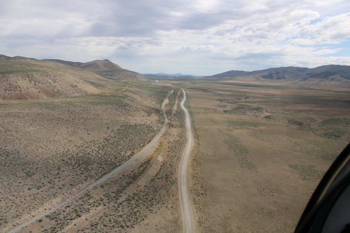
| Following a dirt road over high plains. |
| |
 |
|
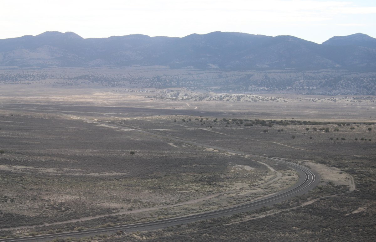
| A modern double-track railroad makes an almost ninety degree turn. |
| |
 |
|
|
The railroad was going my way -- northeast -- so I followed it. I was now clear of the northern boundary of the restricted area.
|
| |
 |
|
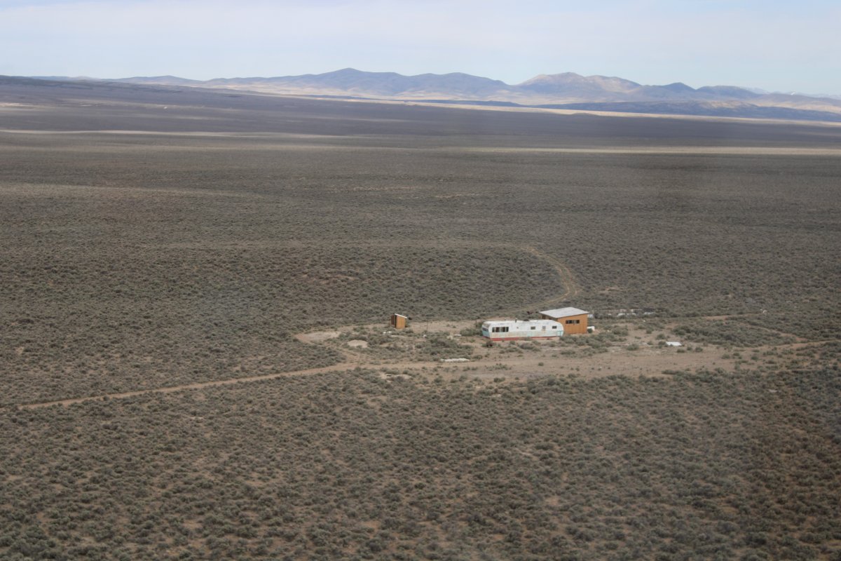
| Passing by a single-wide trailer estate on the high plains. |
| |
 |
|
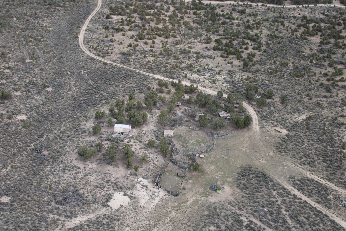
| An abandoned farm. |
| |
 |
|
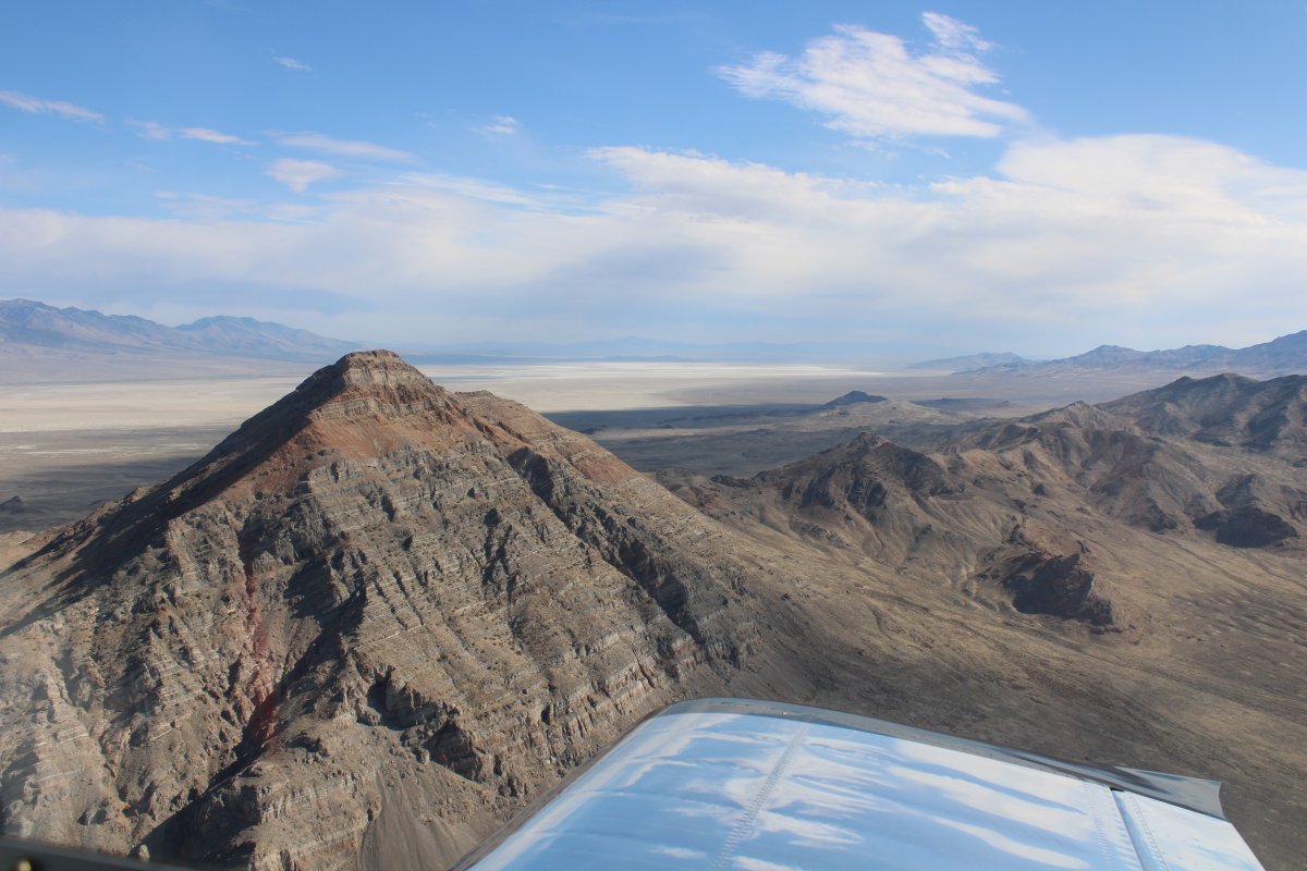
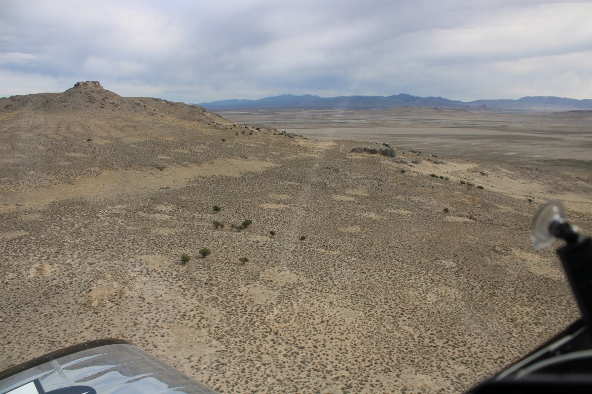
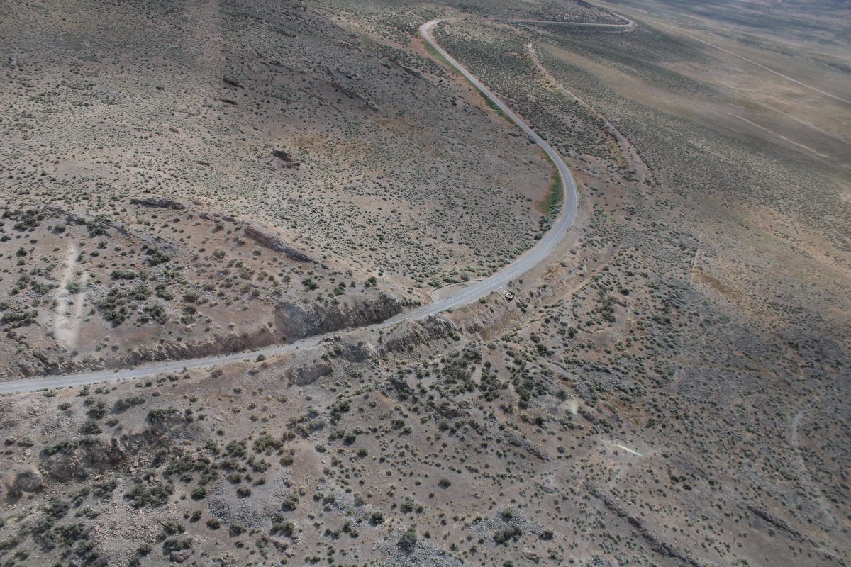
| Hopping over a little range. |
| |
 |
|
|
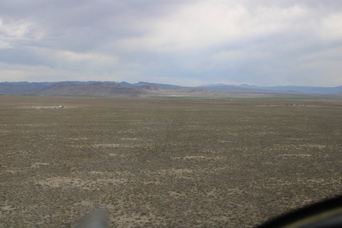
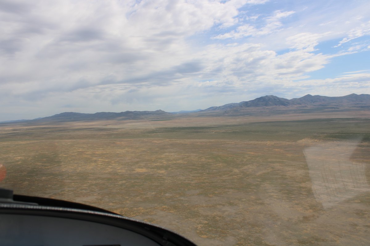
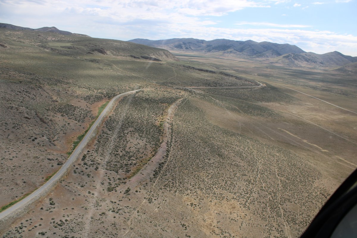
Now nothing but flatlands until I reach the Great Salt Lake.
|
| |
 |
|
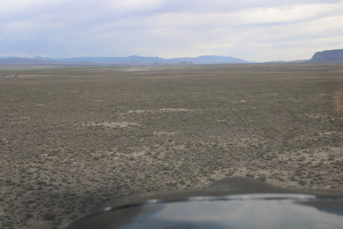
| Having fun flying low over the desert. |
| |
 |
|
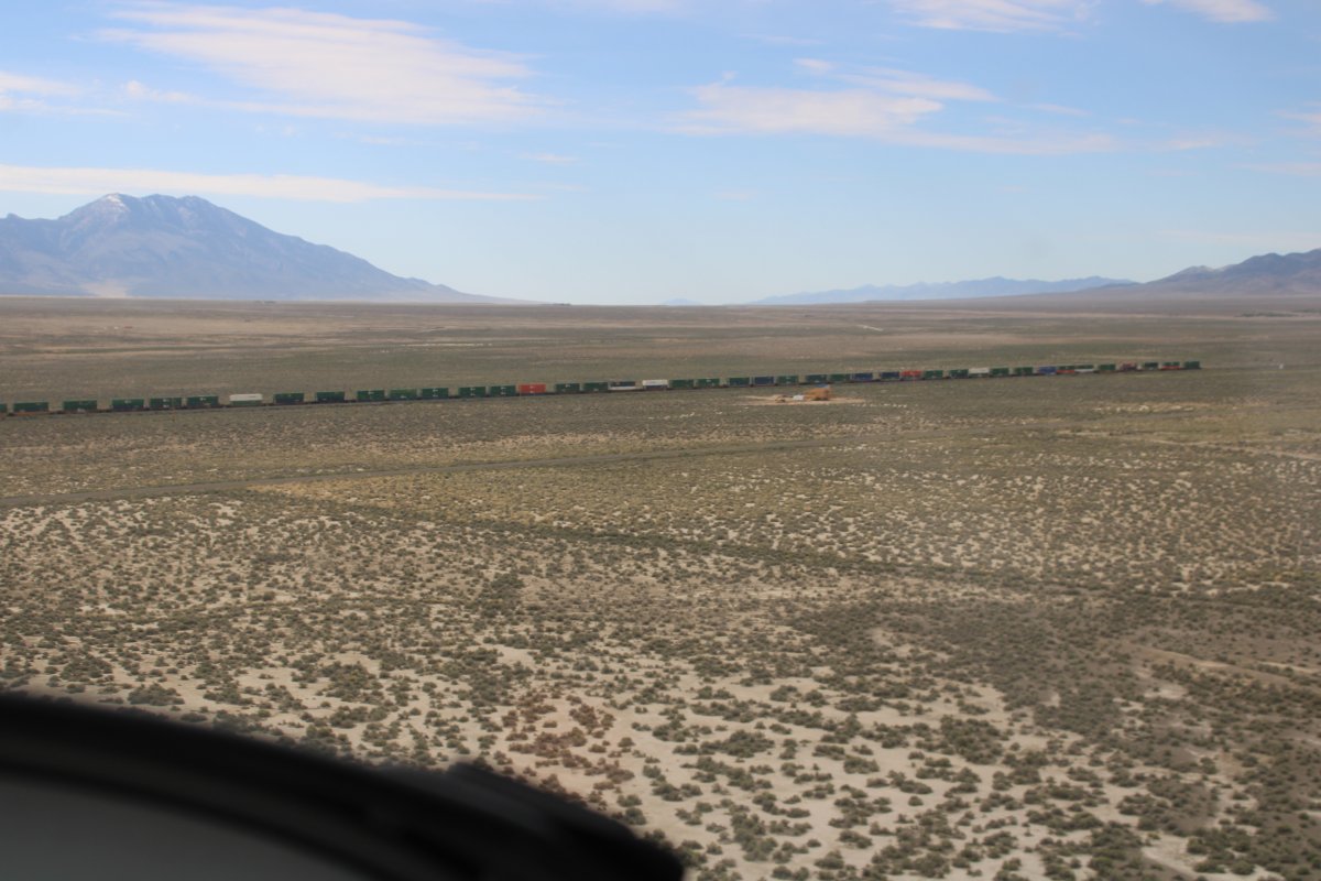
|
Checking out a long freight train heading east.
|
| |
 |
|
|
|
| |
 |
|
| I ended up flying parallel to the railroad, heading due east. |
| |
 |
|
| |
| |
 |
|
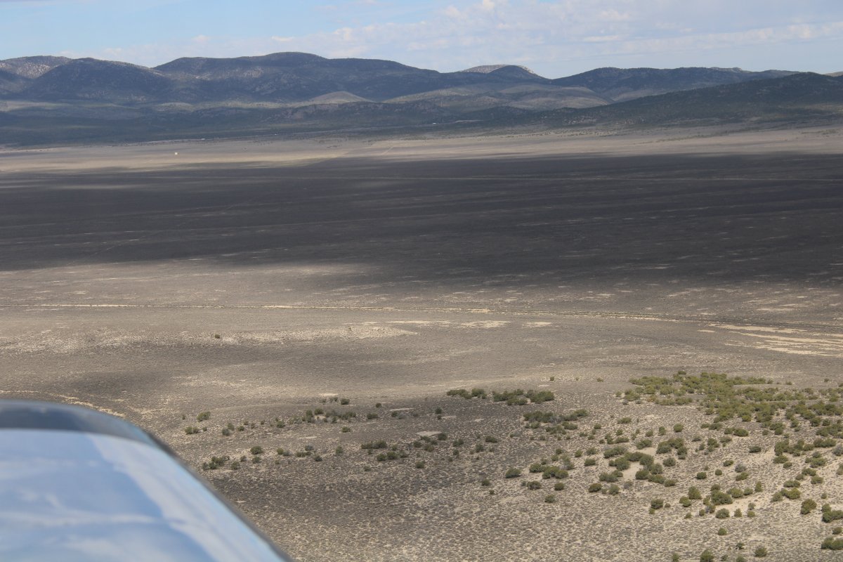
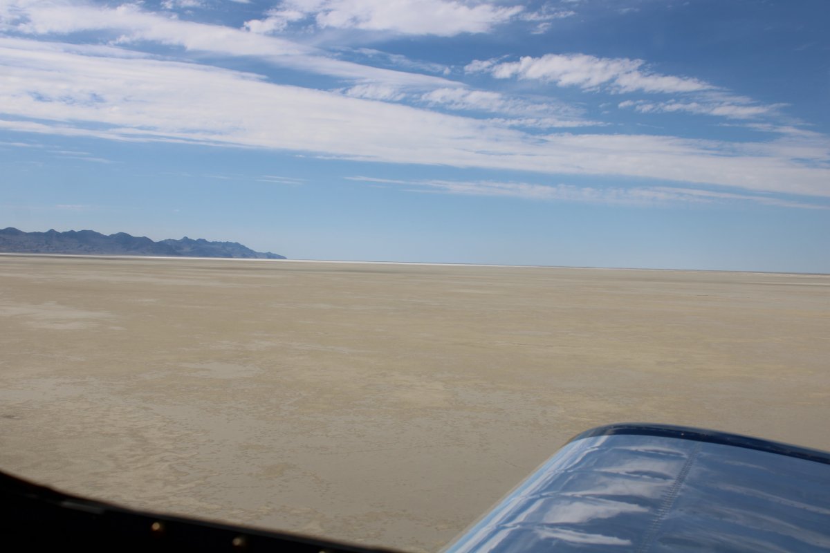
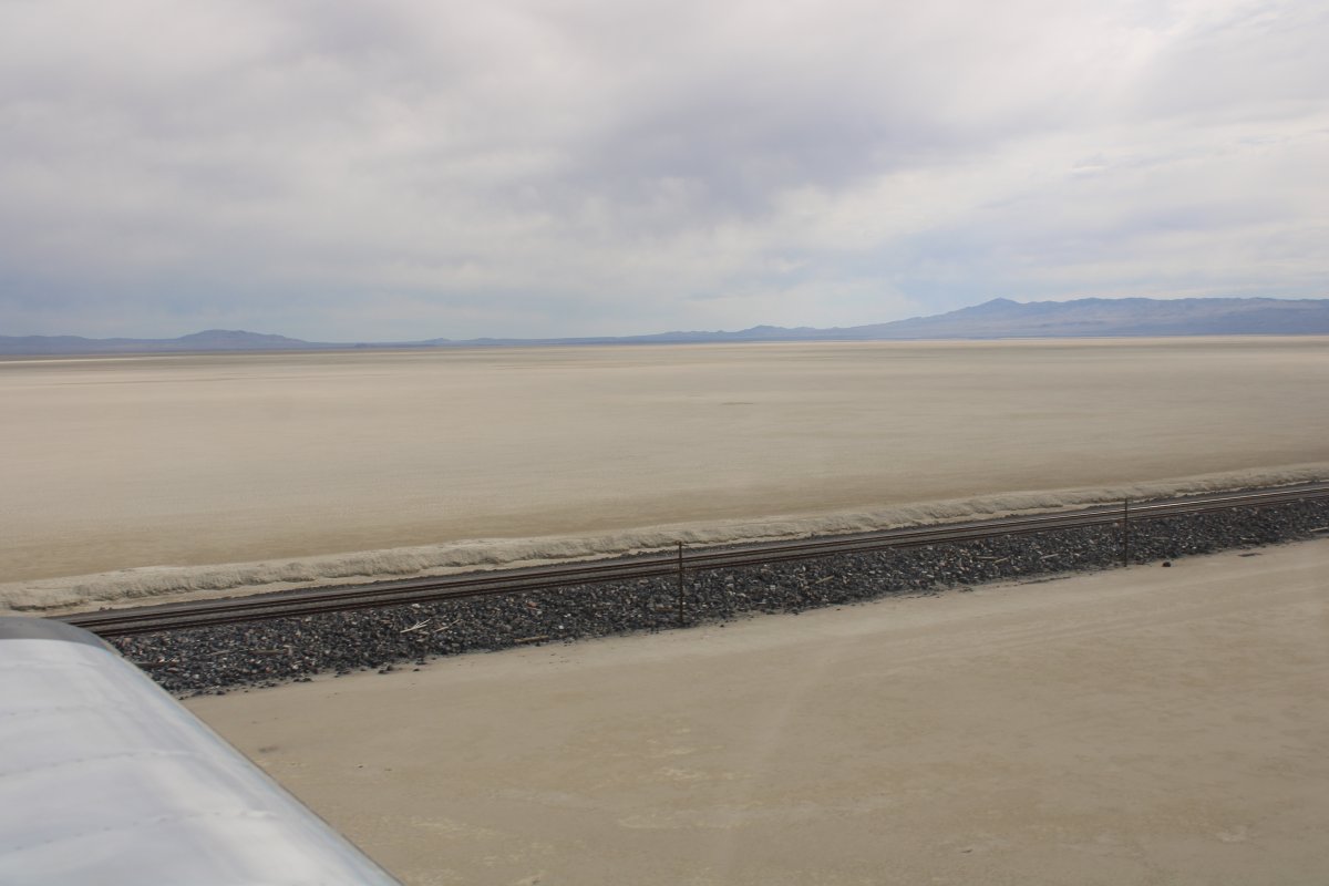
| Looking south at the Great Salt Lake Desert. |
| |
 |
|
|
|
| |
 |
|
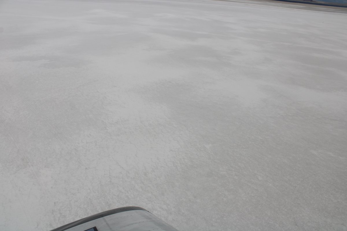
| It doesn't get flatter or more barren than this. |
| |
 |
|
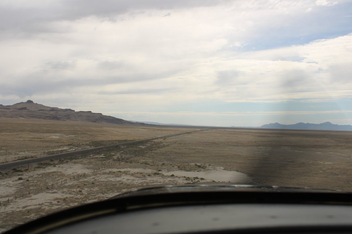
|
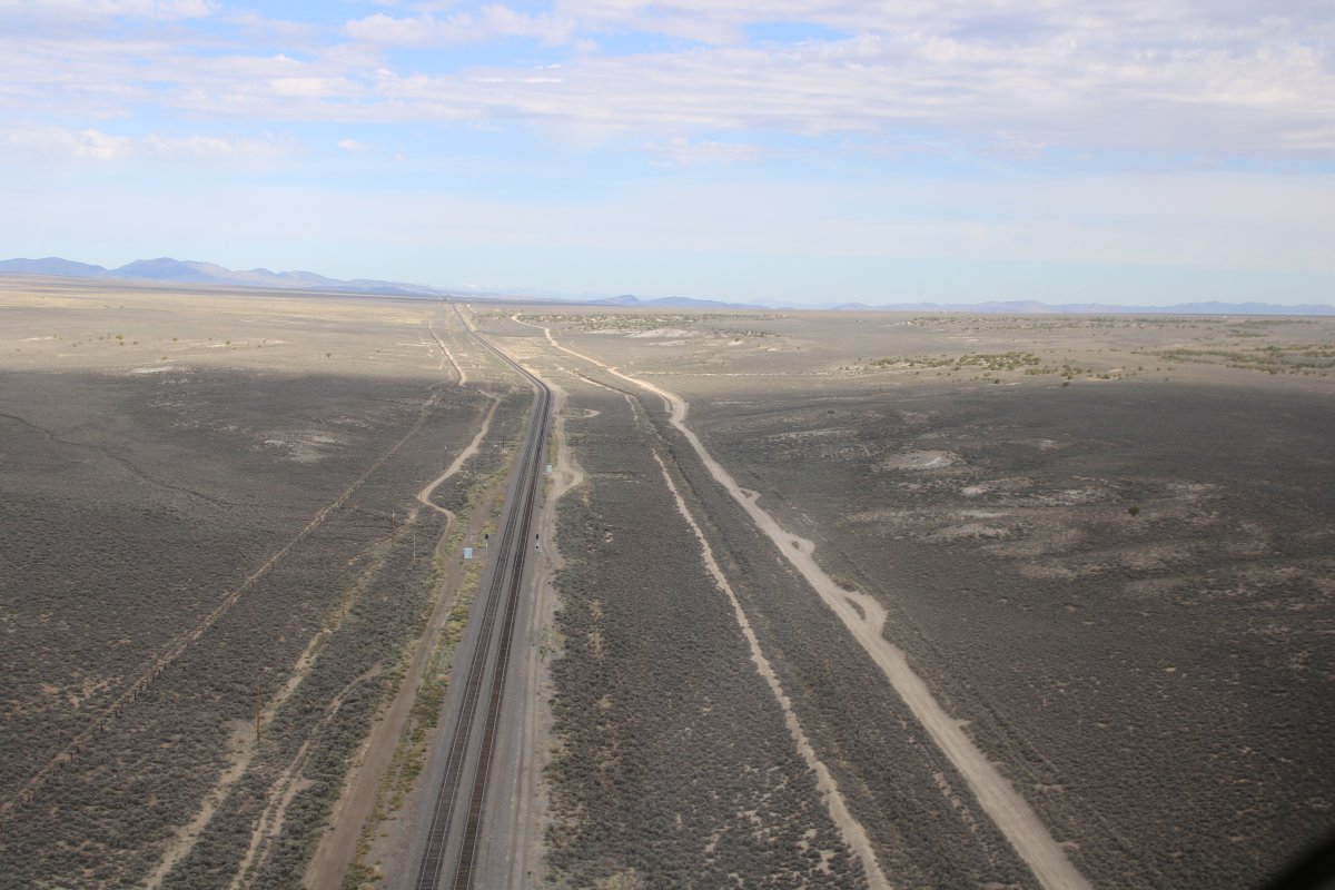
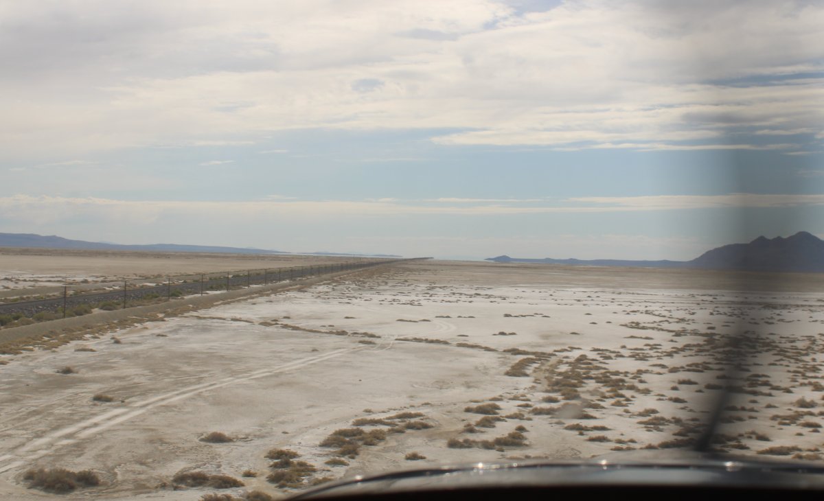
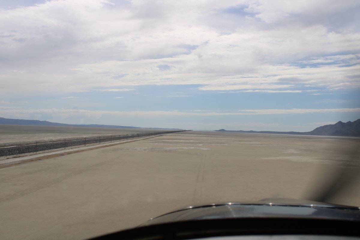
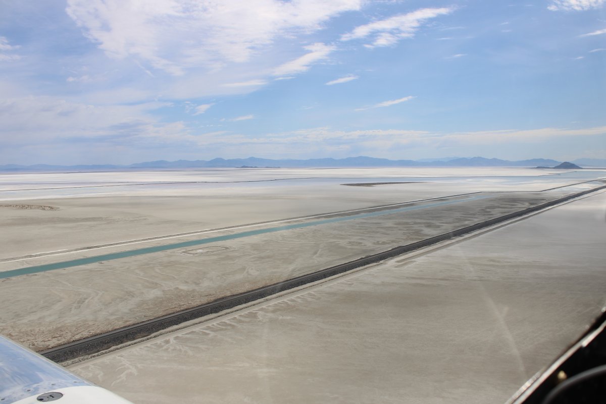
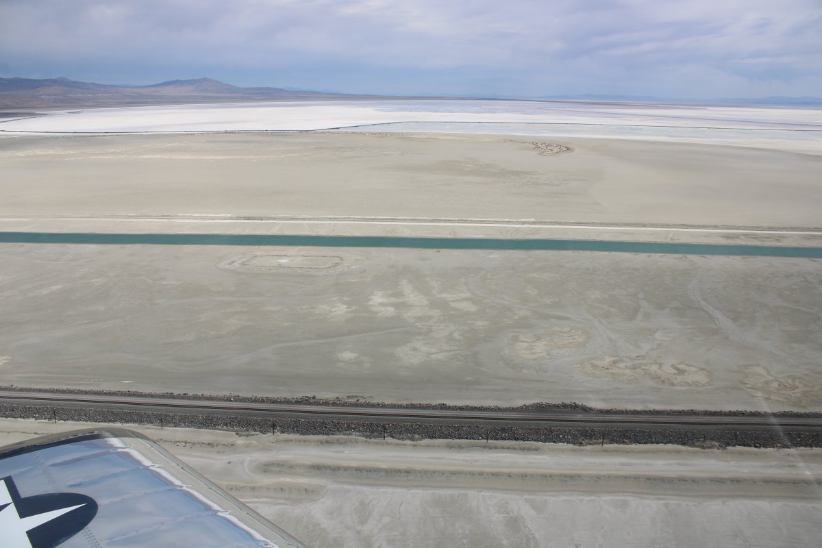
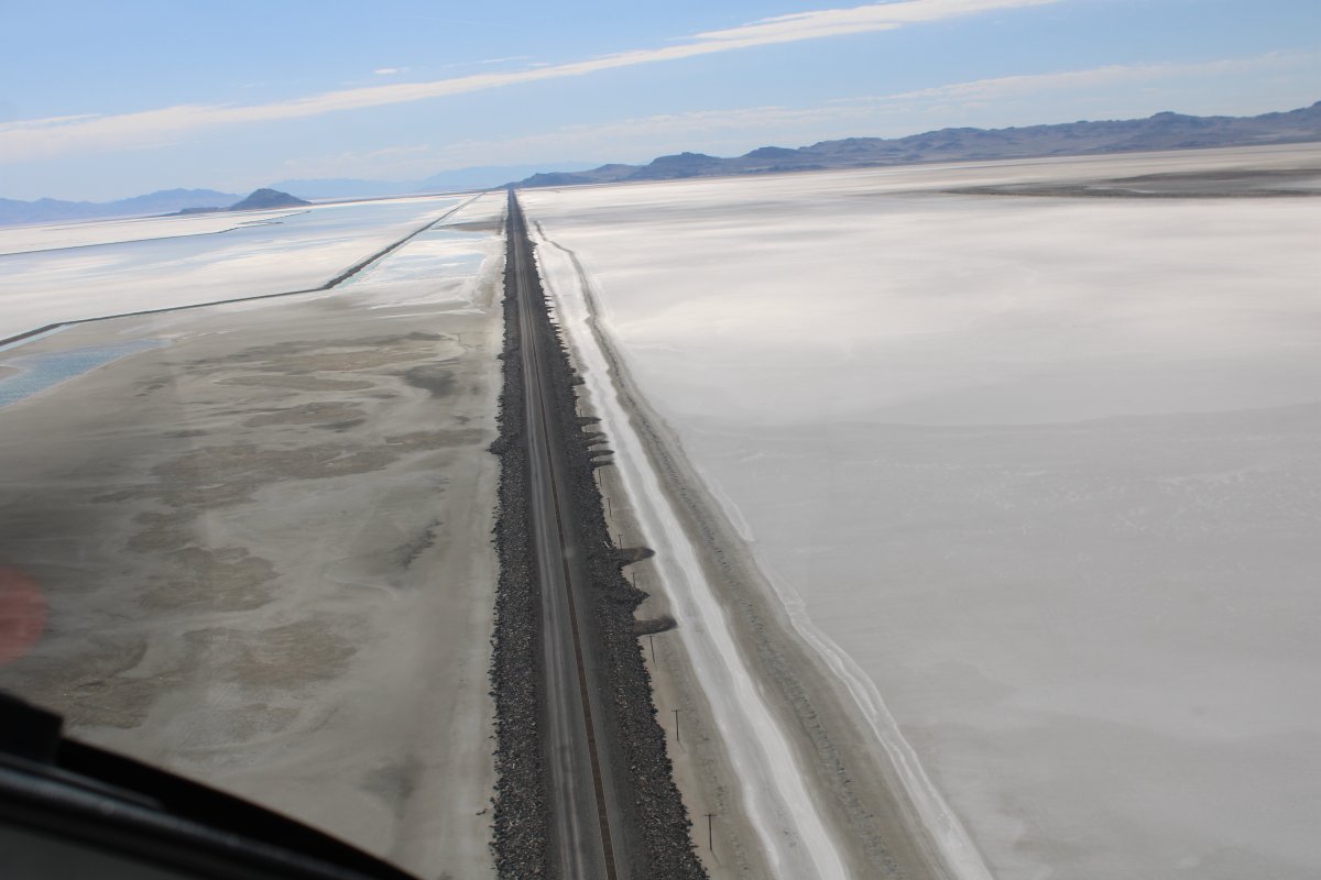
The railroad is straight as an arrow for 50 miles or so.
|
| |
 |
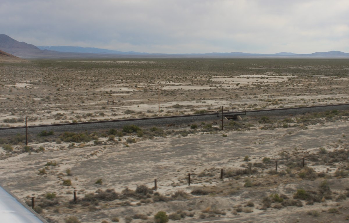
|
| I tried to imagine what a job it must have been to build the rock bed to support the railway. |
| |
 |
|
| |
| |
 |
|
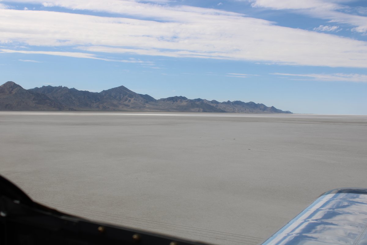
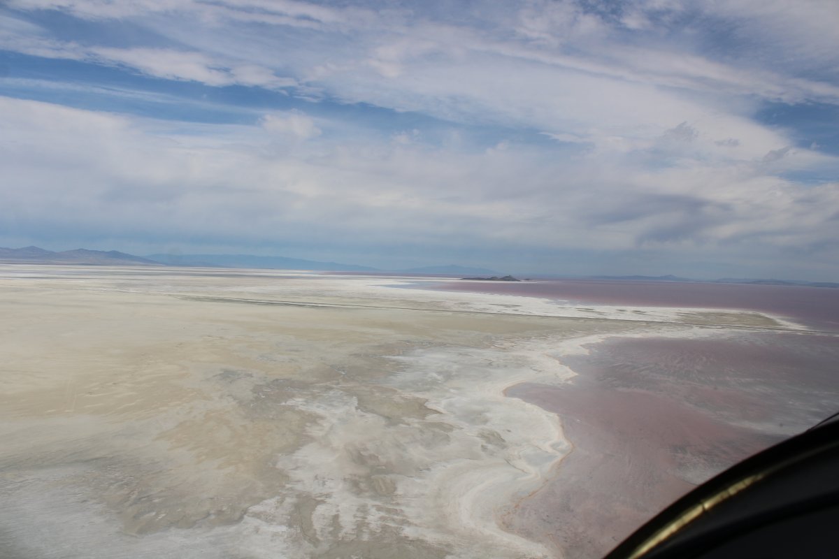
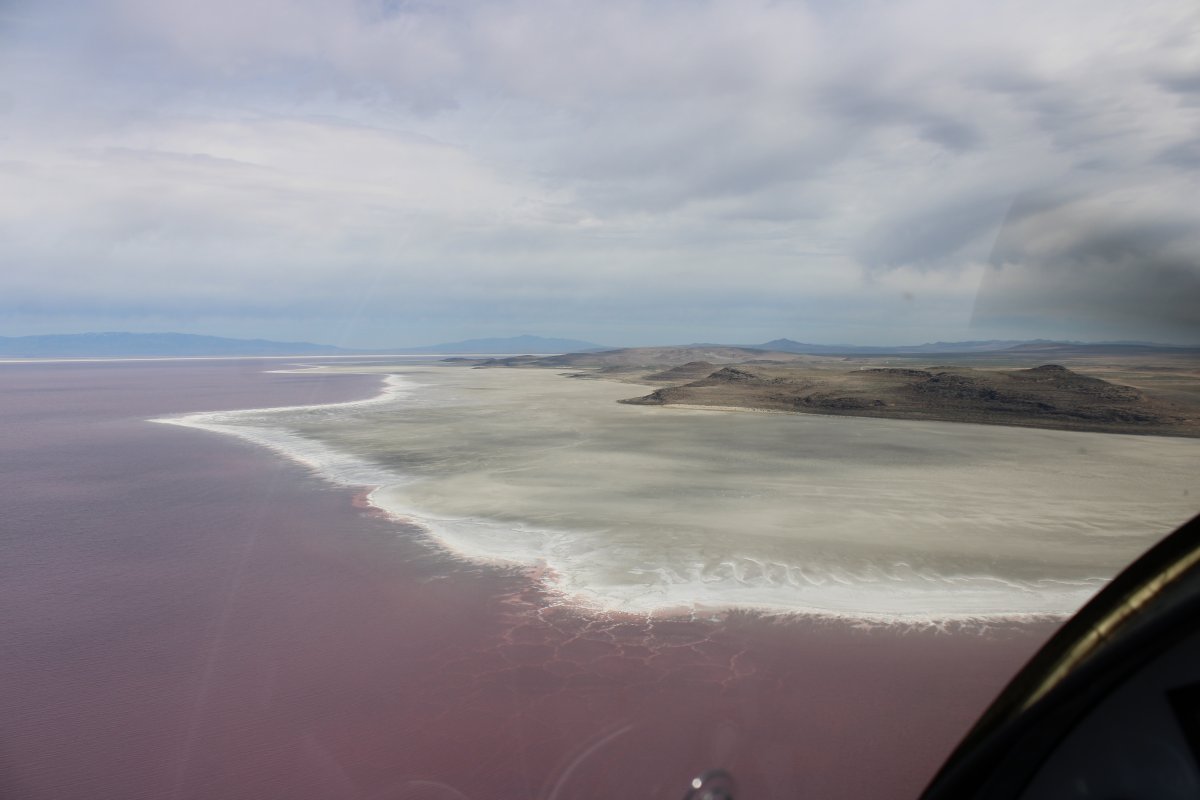
| I start to see salt flats prior to the Salt Lake. |
| |
 |
|
|
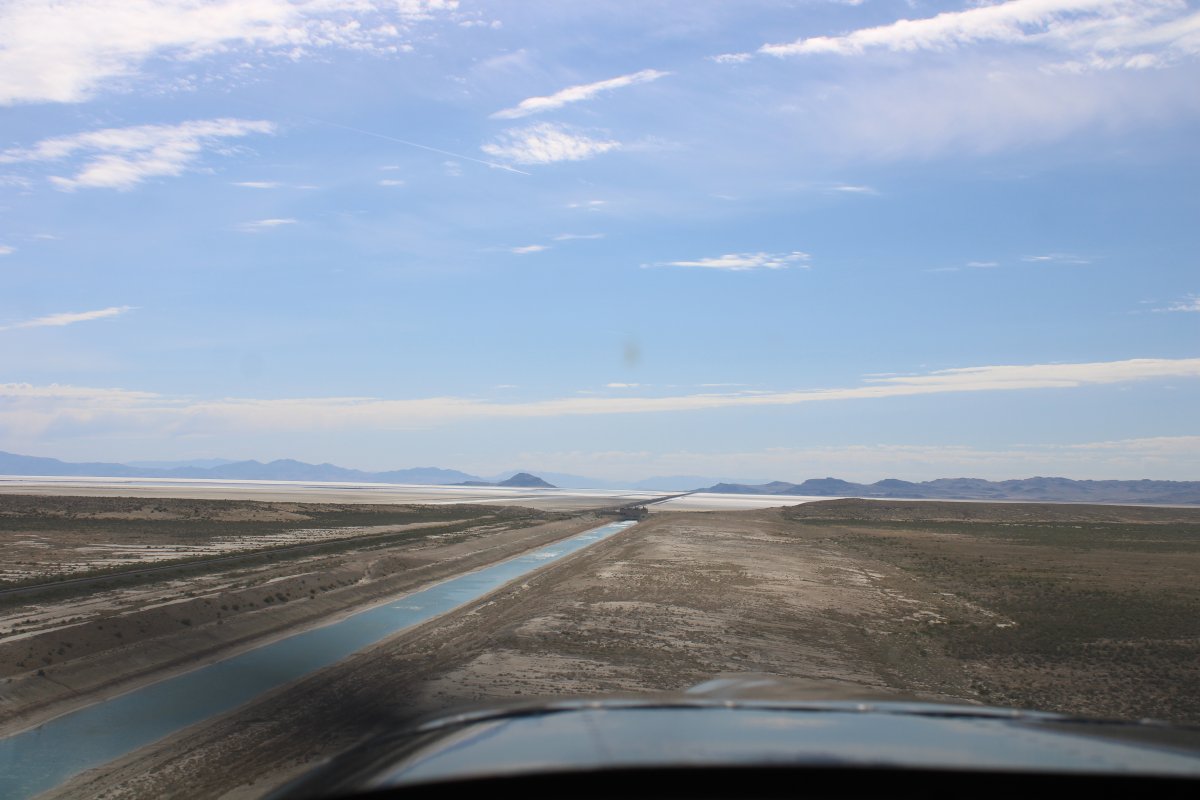
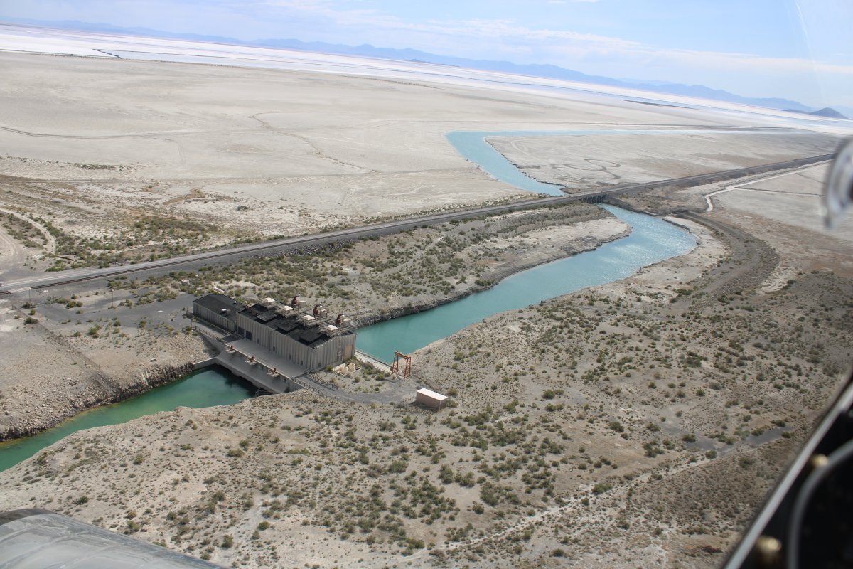
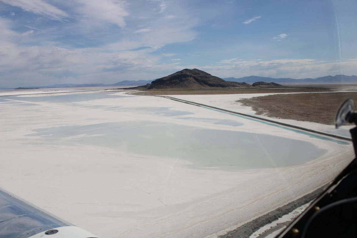
Passing by the Great Salt Lake Pumping Station.
The West Desert Pumping Station is a series of three pumps designed to reduce the water level of the Great Salt Lake, the level of which had been rising steadily through the 1980s, threatening the shoreline industries, Salt Lake City International Airport, railroads, and even I-80 with flooding. The pumping plan called for a system to pump water from the lake to the adjacent Newfoundland Basin, located to the west. The south end of Hogup Ridge, a few miles further down the causeway northwest of Lakeside, was selected as the pump site, and six and a half miles of canals were dug to and from the pumps. Completed rapidly in less than a year, at a cost of nearly $60 million in state funds, the pumps went on line in April 1987. At the same time, a drought began, causing the lake level to subside naturally. The pumps were mothballed in 1989.
|
| |
 |
|
|
The railroad continues east out into the salt flats.
|
| |
 |
|
| Looking north. |
| |
 |
|
|
|
| |
 |
|
| |
| |
 |
|
|
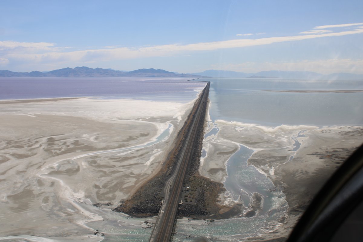
Finally the railroad continues right out into the Great Salt Lake.
|
| |
 |
|
| But at this point, I change course to northeast and head for Golden Spike National Historic Park. |
| |
 |
|
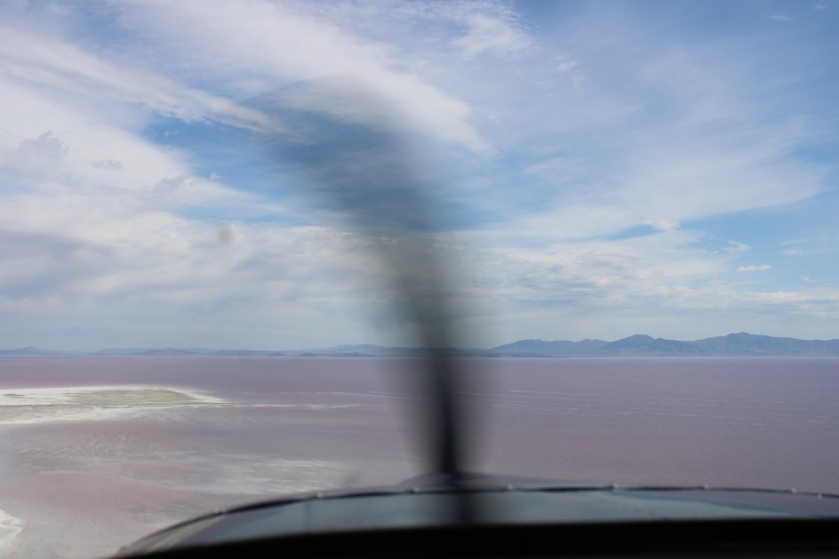
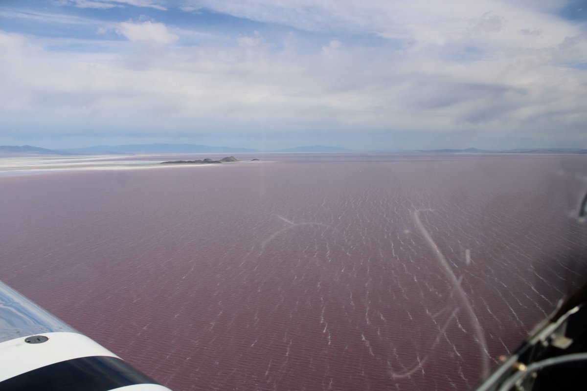
| The water starts off yellow then turns to red. |
| |
 |
|
| Looking southeast. Look how the railroad bifurcates the Salt Lake. |
| |
 |
|
|
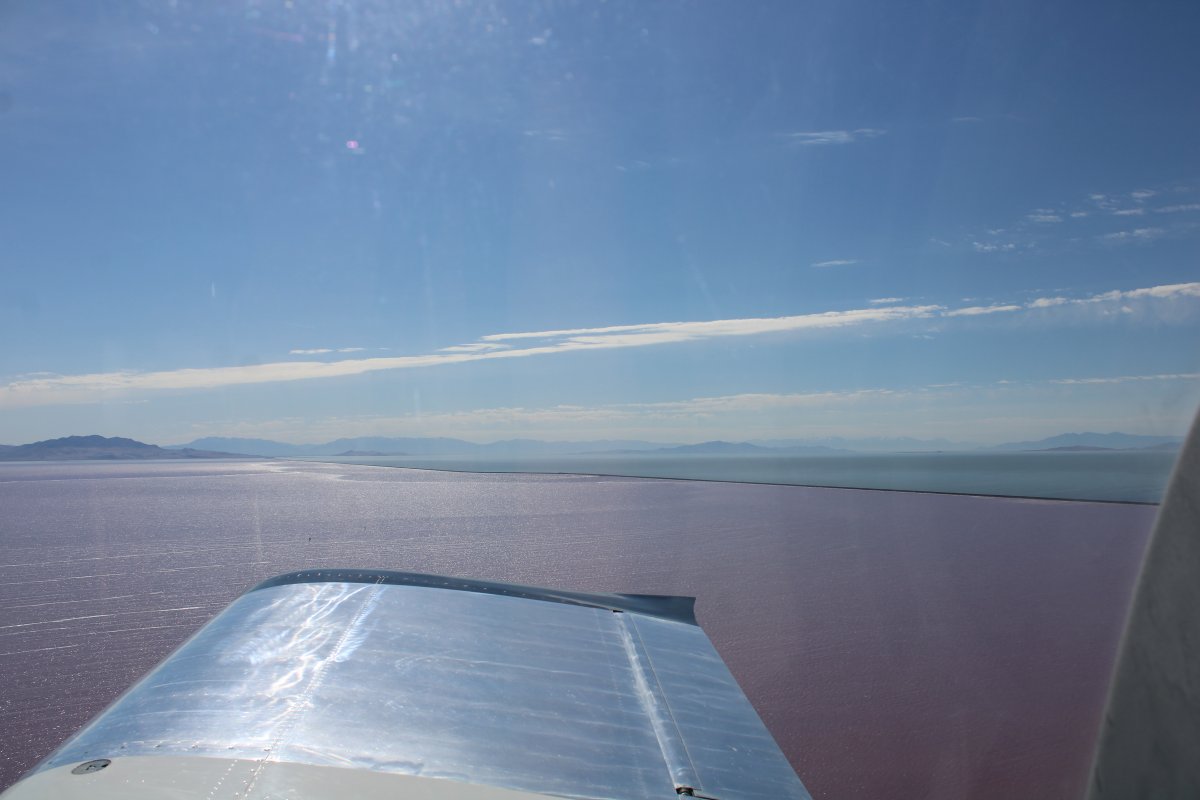
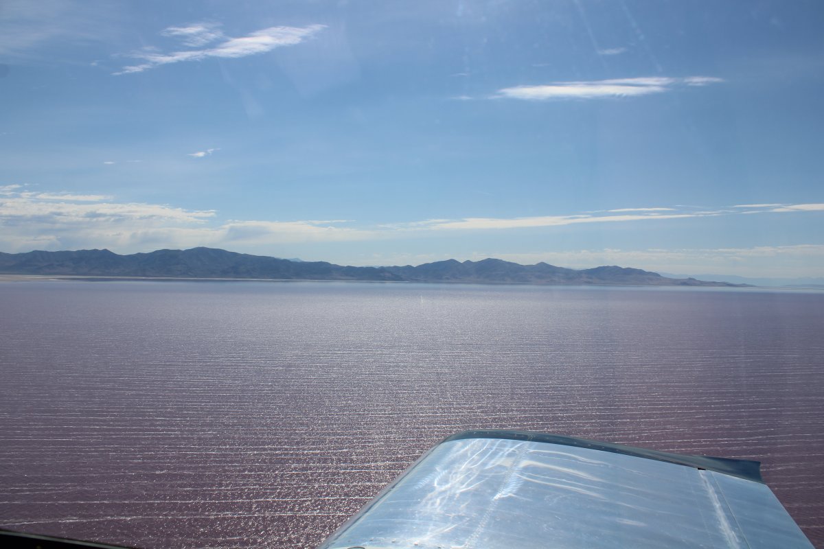
It was a little windy over the Salt Lake. The sea was angry today, my friends.
|
| |
 |
|
| |
| |
 |
|
|
Approaching the shore.
|
| |
 |
|
| I was happy to go feet dry as there were not too many boats -- actually none at all -- on the Salt Lake. |
| |
 |
|
| Heading almost north now, following a dirt road. |
| |
 |
|
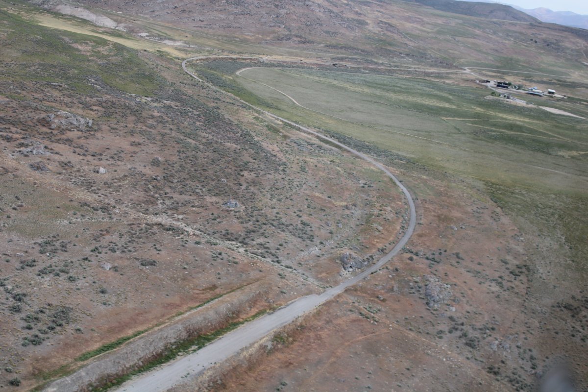
| Golden Spike Park is a narrow area that runs southwest to northeast. I entered at the southwest end. Right away I saw what I think is the bed of the original transnational railroad in between those two paved roads. Looking for the railroad bed was very similar to looking for wagon wheel ruts on the Oregon Trail. |
| |
 |
|
|
The original railroad bed seems to parallel the paved rod on the right side.
|
| |
 |
|
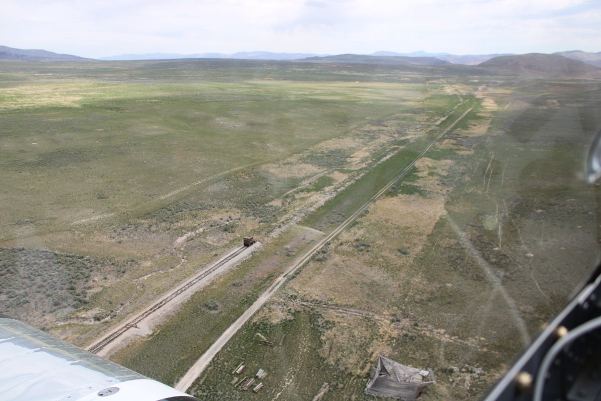
| Following the old railroad bed. |
| |
 |
|
| |
| |
 |
|
| The original railroad bed is very visible in this shot, between the two roads. |
| |
 |
|
|
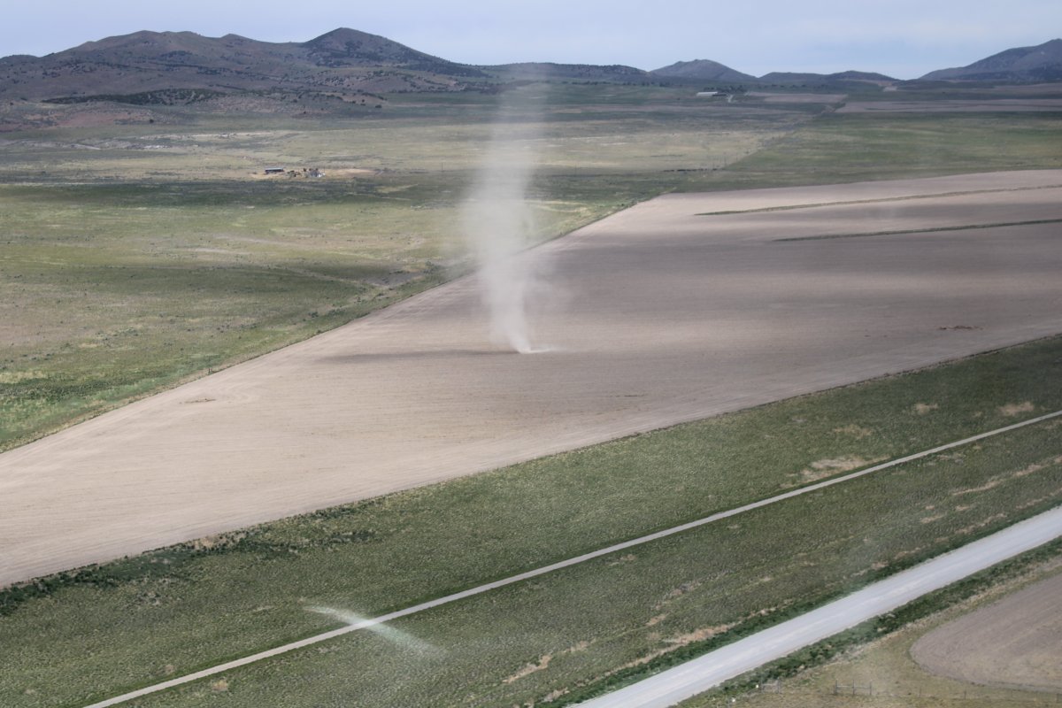
A dirt tornado appears off my left wing.
|
| |
 |
|
| The Last Spike Site is dead ahead! |
| |
 |
|
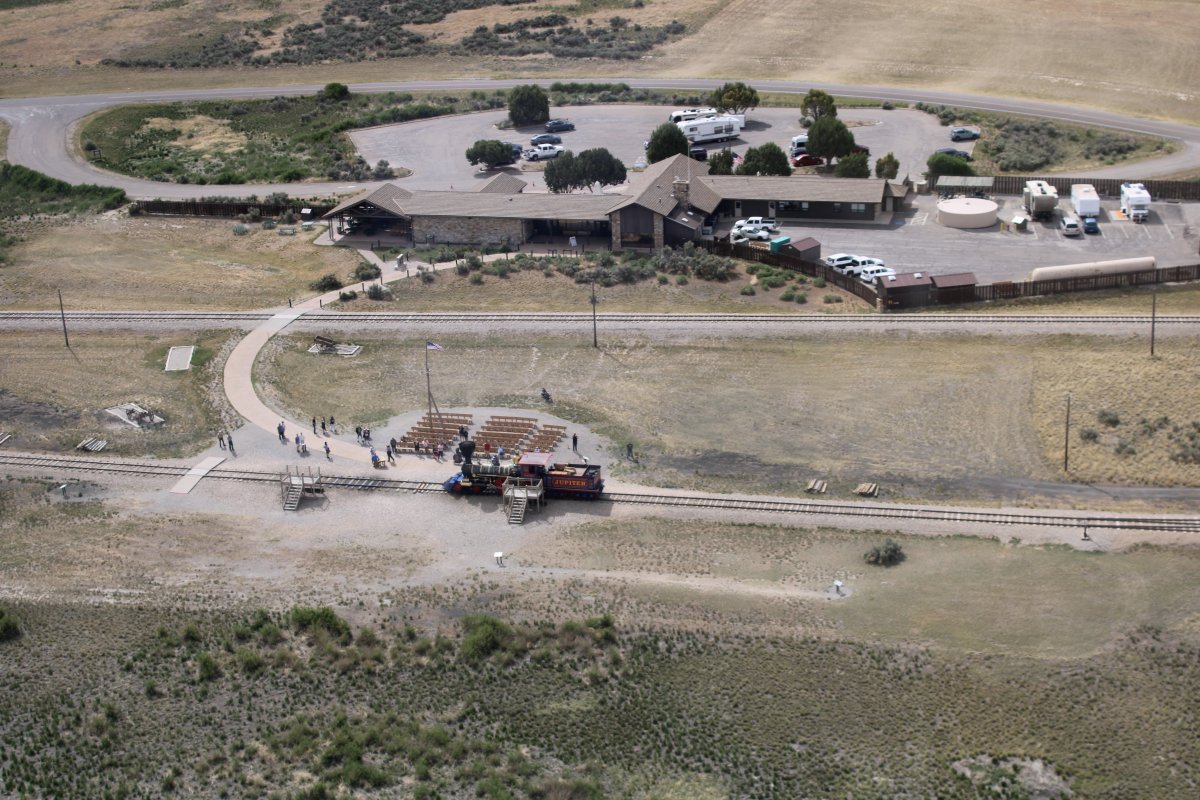
A close-up of the " Last Spike Site" and the "Wedding of the Rails Ceremony", with Visitor's Center behind it. The Golden Spike National Historic Park on Promentory Summit in northern Utah is high on my bucket list of places to visit on the ground.
Many historians point to the “Last Spike Site” as the single most important site in our country, west of Independence Hall. Yet this significant site laid virtually abandoned and ignored for almost a century. It took 96 years after the completion of the transcontinental railroad for the site to gain its rightful place in history. The transcontinental line was completed May 10, 1869, but it wasn’t until July 30, 1965 that the U.S. government showed a tangible interest in protecting and preserving this important piece of our history and heritage. It was July 30, 1965 that Golden Spike National Historical Park was established under the protection of the National Park Service.
|
| |
 |
|
|
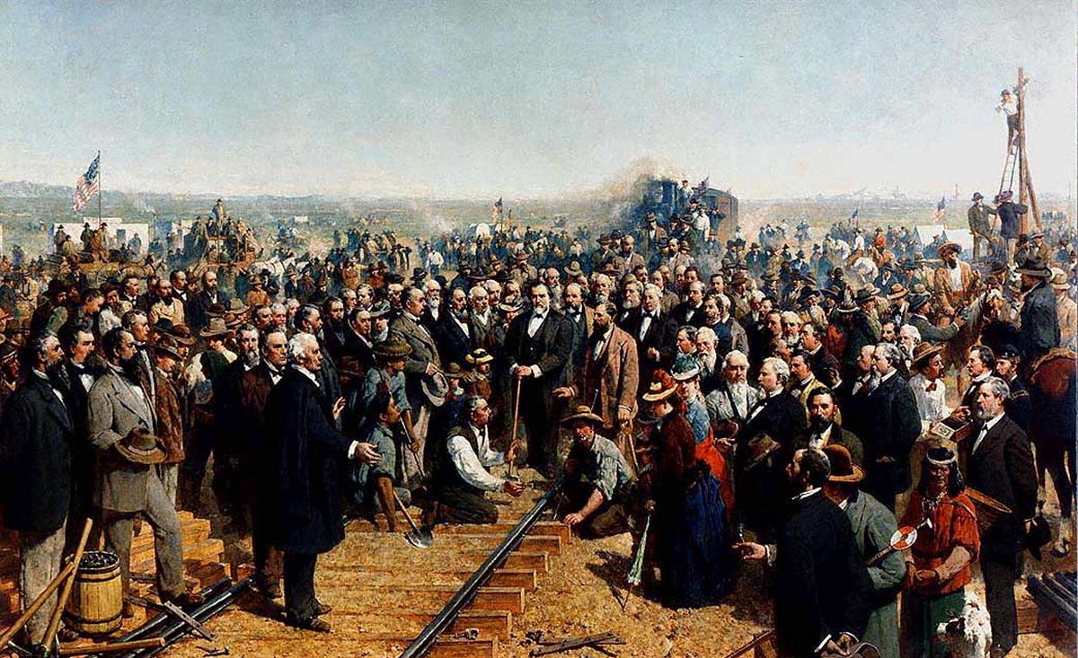
The painting "The Last Spike" by Thomas Hill, (1881) (Wikipedia)
|
| |
 |
|
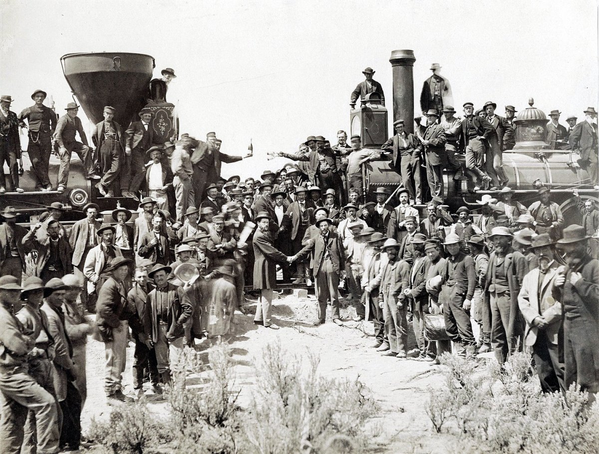
| Andrew J. Russell's picture recording the meeting of the First Transcontinental Railroad. (Wikipedia) |
| |
 |
|
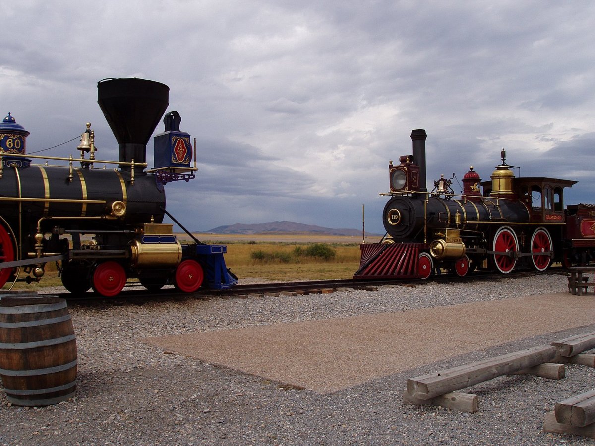
| Replicas of the Central Pacific's Jupiter and the Union Pacific's No. 119 re-enacting the Golden Spike ceremony. (Wikipedia) |
| |
 |
|
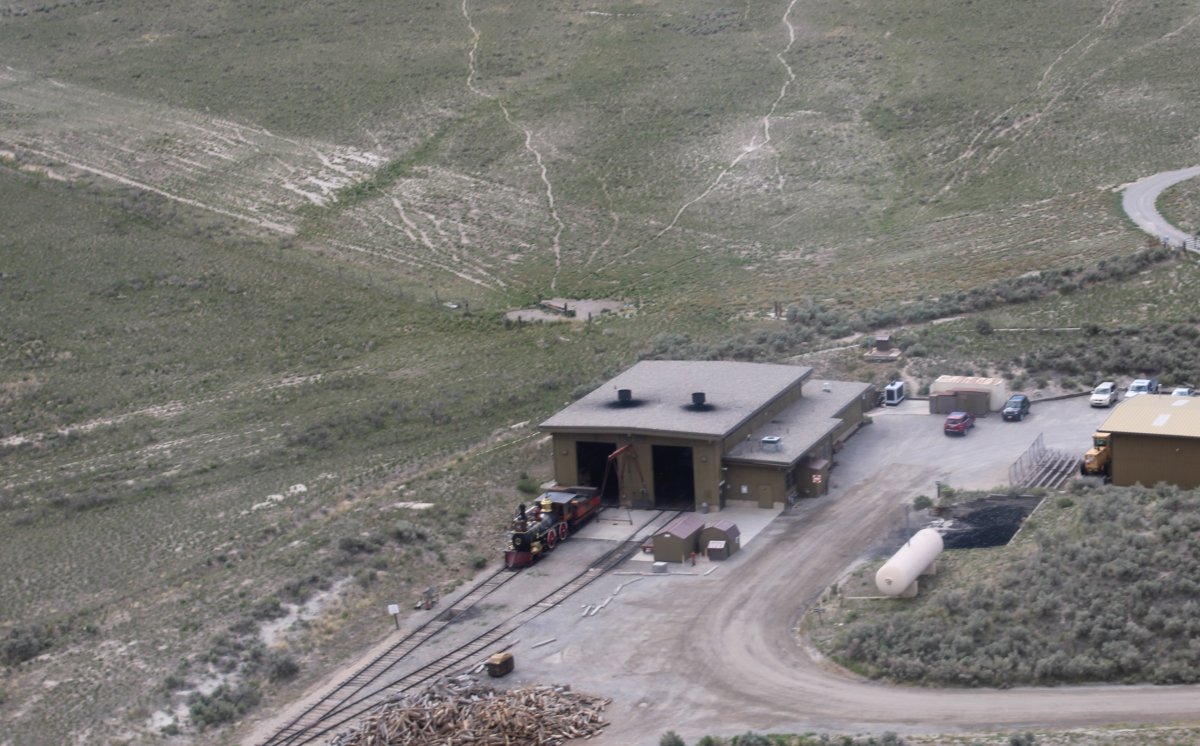
| A close-up of the Engine House. |
| |
 |
|
| Continuing northeast. The restored track ends but it is easy to see where it was. |
| |
 |
|
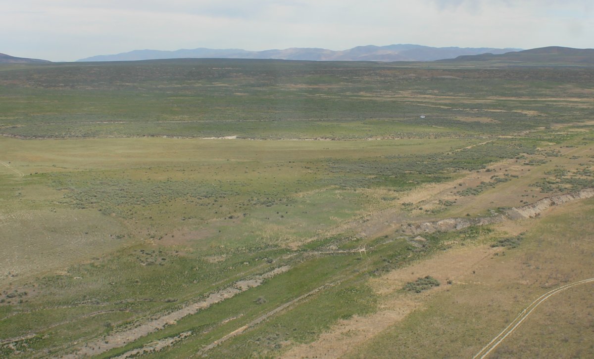
| I followed the railroad bed northeast. |
| |
 |
|
|
Until I could no longer tell for sure where it went.
|
| |
 |
|
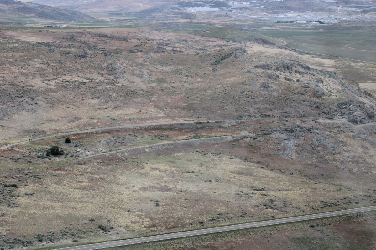
| Is that the original railroad bed just below that paved road? |
| |
 |
|
| Now above the paved road? |
| |
 |
|
| |
| |
|
|
|
|
|
|